
Ingo Günther: Topography Drive (Pacific Rim)
Artist(s):
Collaborators:
Title:
- Topography Drive (Pacific Rim)
Exhibition:
Creation Year:
- 2007
Category:
Artist Statement:
My most recent work engages conceptual themes of distance, scale, time, and experience.
Topography Drive puts the audience in an imaginary driver’s seat, and the route of exploration is as geographically real as it is a conceptual meditation. The trip begins smack in the middle of the Pacific Ocean, just south of the Aleutian Islands. We are
traveling southward along the International Dateline. Looking westward, you see the night-lit topography of Japan emerge from the ocean; looking eastward, you see the topography of the West Coast of the US lit by the sun’s rays. In essence, you see day and night landscapes together in an exploratory scene that both flattens the earth and eliminates atmospheric effects – a view of our world that is dreamlike but underscored by very real data points. The artwork is, in fact, based on what one really would see if one could flatten space, eliminate natural atmospheric distortions, and see across planetary-scale distances.
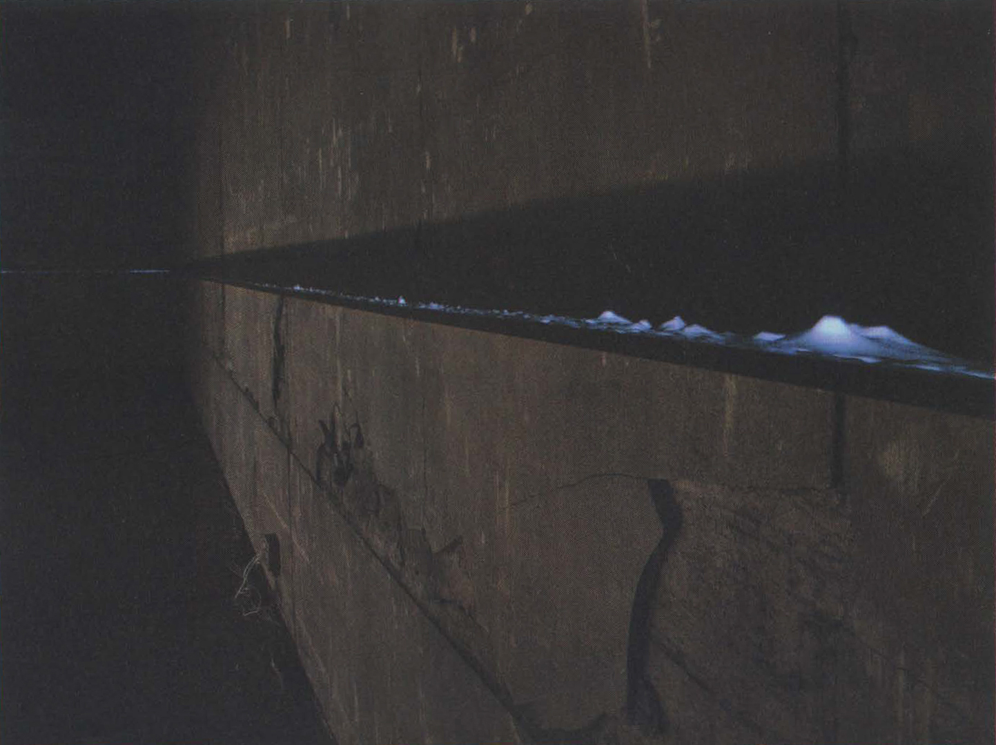
The first iteration of the Topography project was exhibited at the Yokohama Triennale in 2005. There the entire Pacific Rim was mapped in this fashion, yielding a 160-yard-long image (4 inches in height) at a scale of 1:170,000. A very different version featuring moving projectors, a moving landscape, and an HD rendering of the flyby was shown at the Tokyo National University for Fine Arts in 2006. The most recent piece depicts the Vietnamese coastline from the same International Dateline viewpoint. Etched in black marble, the work is a 120-foot-long permanent public sculpture in the coastal town of Hoi An in central Vietnam. It “captures” the entire Vietnamese coastline at 1:50,000 scale (documented
at www.hoian-horizon.org). Acknowledgements of support: Shinobu Ito, Sumiko Kumakura, Franz Xavier Augustin, Markus Cornaro, Viet Bang Pham, and Kasuken Kasuya.
Technical Information:
This installation uses digital elevation model data (DEM). The data, originally recorded by a radar sensor on the US Space Shuttle, represent elevation measurements taken every 90 meters of Earth’s entire land mass. The image of the Pacific Rim’s horizon line was rendered from the perspective of the International Dateline, as if the Earth itself were flat. The installation consists of a large wall-size projection and depicts Japan’s horizon line as one moves southward along the International Dateline at 1,000 km/h (600 mph). Japan is approximately 3,000 km (1,800 miles) in length, so the movie is approximately three hours long. The opposing projection, which is also from the same International Dateline perspective, again traveling from north to south, represents the day scene of the American West Coast. The source for this image is not a movie. It is a live image captured via video camera of a rendered image, mounted on a lightbox. The lightbox is moving slowly but visibly past the camera perspective. The actual image object that is moving past the camera is almost 30 feet long, 4 inches tall, and 4 inches deep, and it moves at a scale speed of 4 miles per second. This speed is equivalent to rocket speeds, approximately 30 times faster than a jet airplane.