
Yasushi Noguchi: C-loc Software
Artist(s):
Title:
- C-loc Software
Exhibition:
Creation Year:
- 2009
Category:
Artist Statement:
In recent years, geographic information systems (GIS) for consumers (Google Maps and Google Earth, for example) have become very popular, and many people enjoy collecting and editing memories using those media. These systems are well designed to visualize diverse geographical data, but they can not present geographical and chronological information at the same time. Some GIS systems have a chronological function, but only as animation.
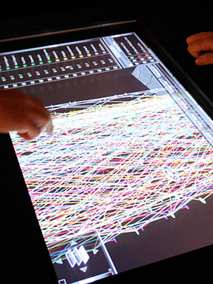
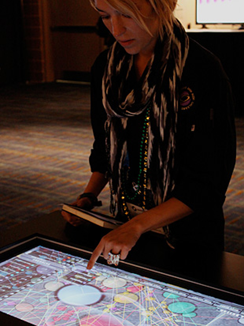
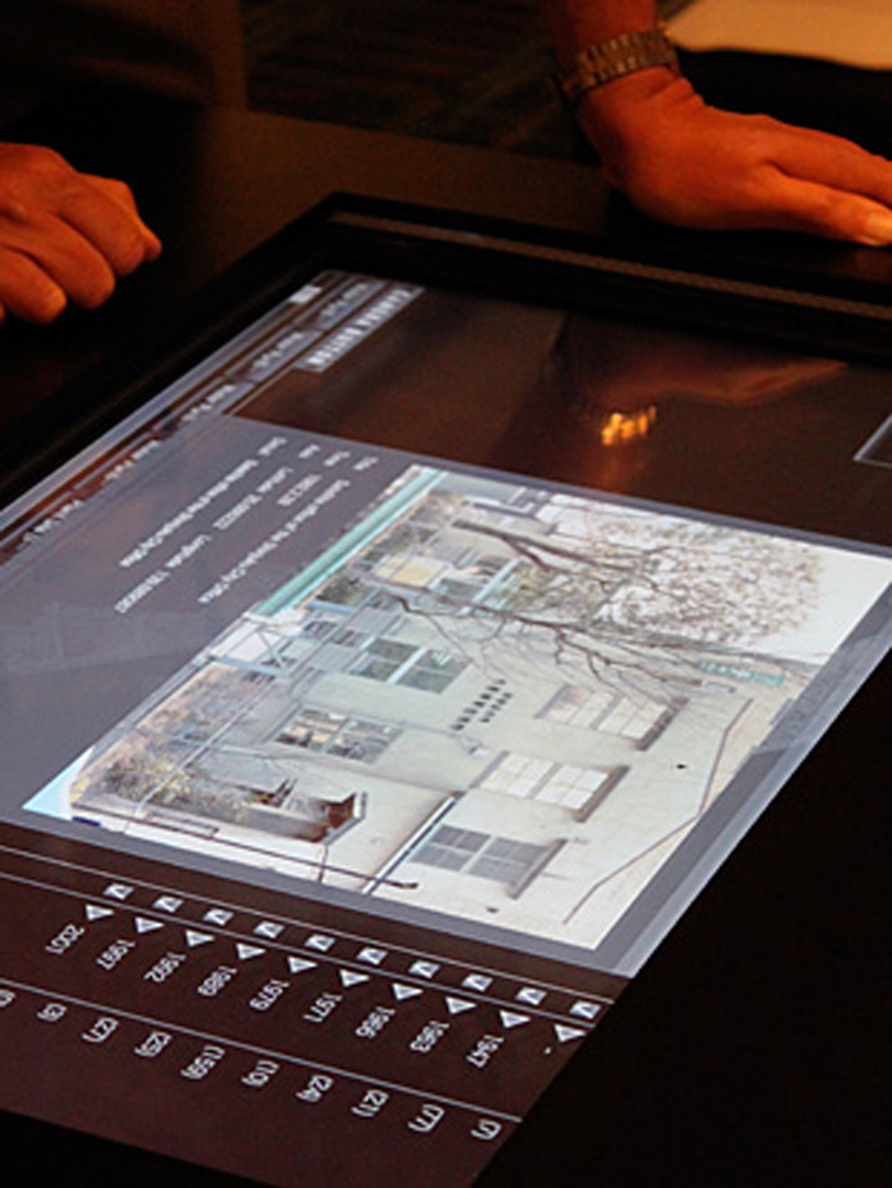
C-loc Software offers a new way to visualize time and space using a time layer-scheme and interactive three-dimensional graphics. It is suitable for people who want to investigate the relationship between the geographical and chronological information of archeology, ethnology, and history such as an archive of earthen vessels. An editor can import chronological maps and define year, month, day, hour, minute, and second. Any type of map can be used, depending on the editor’s purpose. Time’s arrow goes from the bottom to the top of the interface. It is the layer of time.
Objects can be created and categorized. Text, image, sound, or movies are registered as objects, and the size, color, and alpha of the object is customized. In addition, lines that connect objects in the same category can be customized as well. The position of the camera is registered as a button. Pressing the button moves the camera to a target point. Furthermore, there is a function for importing and exporting a CSV file so that an existing database can be easily converted into data for C-loc Software. In addition, GPS data can be imported into the software. If users’ photos include location data (for example, latitude, longitude, and time) as EXIF data, those photos are automatically imported and placed in C-loc Software.
Affiliation Where Artwork Was Created:
- Tokyo Polytechnic University